Tour dates: 20 Aug to 04 Sep 2008.
Click on images to see a magnified version in a new window.
View Photo
Set 1/3
|
Set 2/3
|
Set 3/3
|
Diary
Our visit in 2007
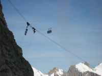
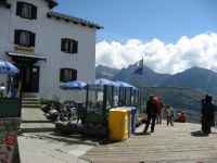
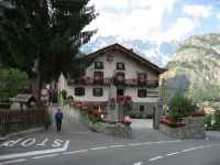
 It is good to break the journey here.
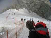
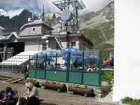
You can see the gondolas passing overhead
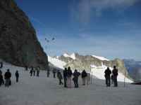
 You can watch people setting off on more ambitious strolls...
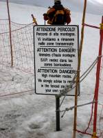
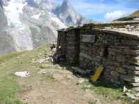
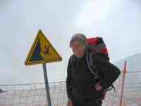 ...or just admire the notices
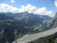
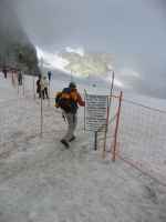
 This is down a south-facing slope
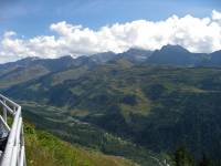
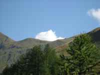
Sunny views left, ahead and right
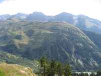
 All the views above were taken from a station on the descent.
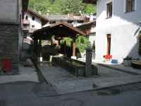
There is a pleasant restaurant on a terrace.
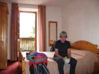
 We stayed again at the Hotel des Glaciers
It is across the river at Dolonne
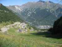
 Courmayeur is an attractive old town.
There are more photos in last year's web page.
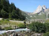
 Start by taking the local bus to the head of the valley at Arnuva.
Go up the restaurant driveway and turn left to find the footpath,
which will immediately turn back to the right.
 Preparations were under way for the "Ultra-trail du Mont Blanc"
Here a helicopter is taking a camera crew shelter up to the Grand Col Ferret.
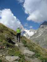
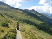
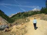
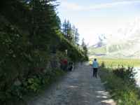
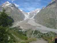
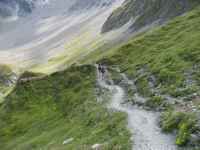
 The route rises steadily along the southern flank of Val Ferret,
with views goes right through to the head of Val Veni
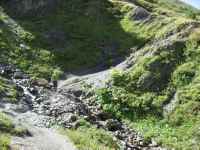
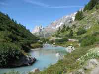
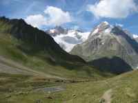
Streams flow down from the left, but nothing too big.
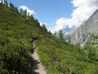 Patches of trees mix with steep grassy slopes.
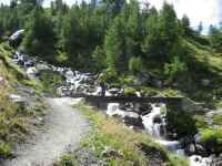
 One bigger river has a bridge.
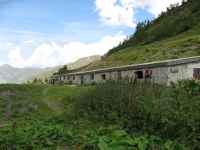
This is approaching the Refugio Bonatti.
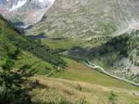
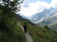 Beyond the Bonatti, the path ascends through woods and high pastures.
Eventually it attains the ridge above the Rifugio Bertone
then descends steeply to Courmayeur.
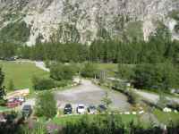
 In Val Veni the bus goes only as far as La Visaille.
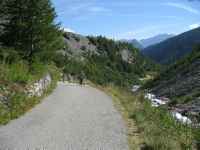
From there one walks up a private road.
 There are views of the river to the left.
Looking first forward, then back
 Once one has climbed over an old landslip, bigger than a Peak District hill, the road turns left to cross the river and the start of the path comes into view.
 Soon you are looking down on the approach road.
Note the bridge over the river
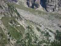
 Across the valley one can see the vast landslip.
This totally blocked the valley in prehistoric times.
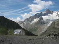
 Higher up there is a shepherd's hut.
Above it a shallow and wide side-valley with cattle grazing.

 One brief stop was beside an Ultra-trail course marker.
Near us was another camera crew shelter.
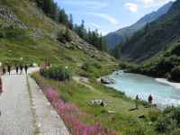
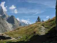
 The path continues along the valley flank
 Eventually, beyond the Maison Vieille, the path descends to Dolonne.
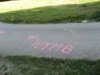
Near the village, the tarmac road had spray-painted "UTMB" signs ready for the race.
Next page ![]()
View Photo
Set 1/3
|
Set 2/3
|
Set 3/3
|
Diary
Our visit in 2007
![]()